I’ve lived in Wisconsin for nearly 30 years, but I’ve never found the opportunity to make my way to the upper peninsula of Michigan. So I packed up my teardrop camper and my camera gear, and made my way around the big lake.
My first stop was actually along the shores of Lake Winnebago, where I camped at High Cliffs state park. On my way up to Michigan, I pass through the town of Escanaba, which I can attest is “lovely in da daylight.”
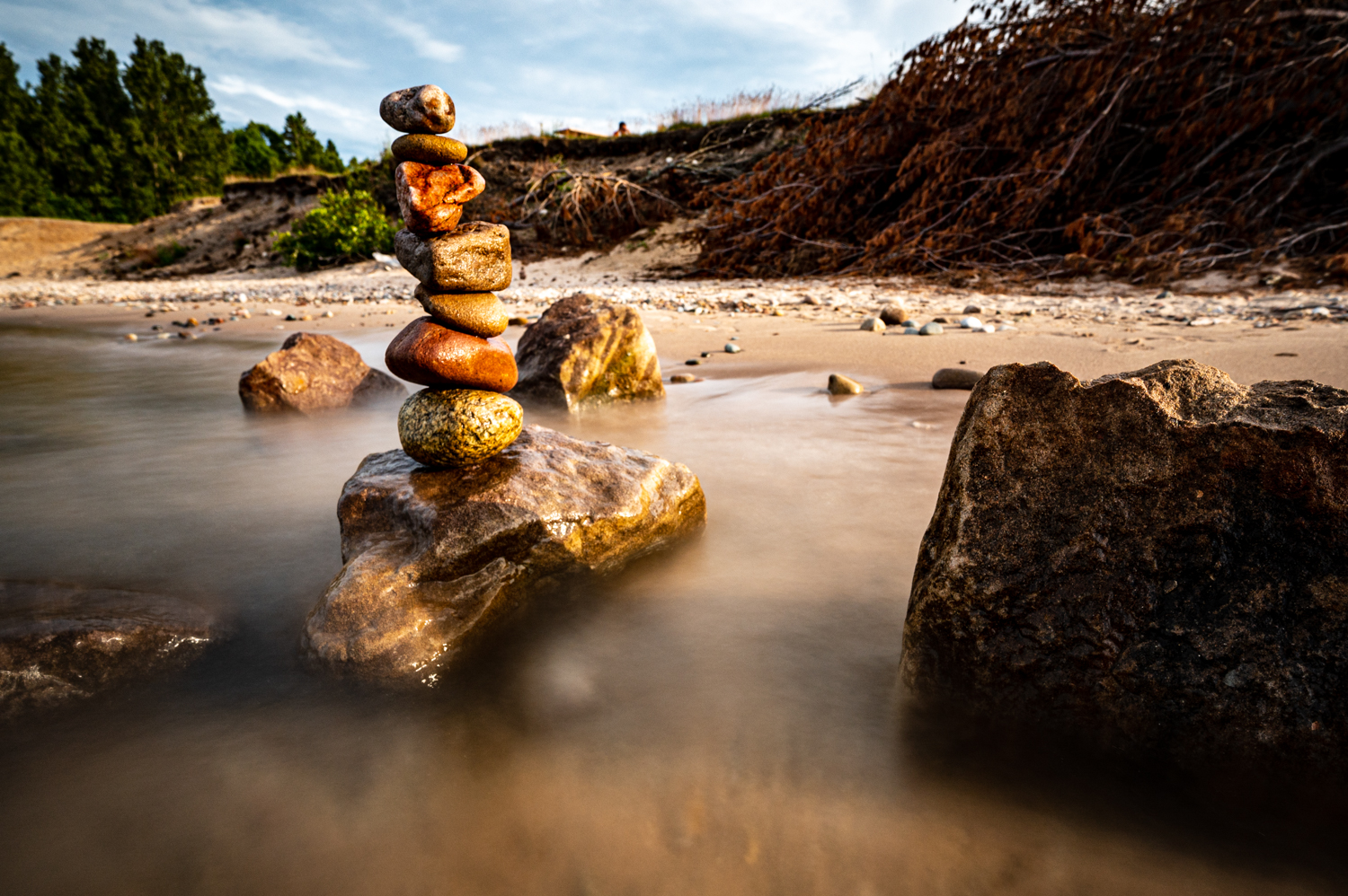
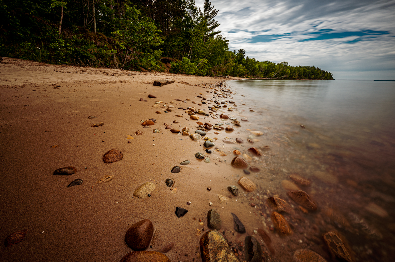
Near the town of Munising, I found a campsite at the Bay Furnace Campground, smack dab on the shores of Lake Superior. Before exploring the fabled Pictured Rocks, I took the time to check out the rocks on the beach in front of my campsite.
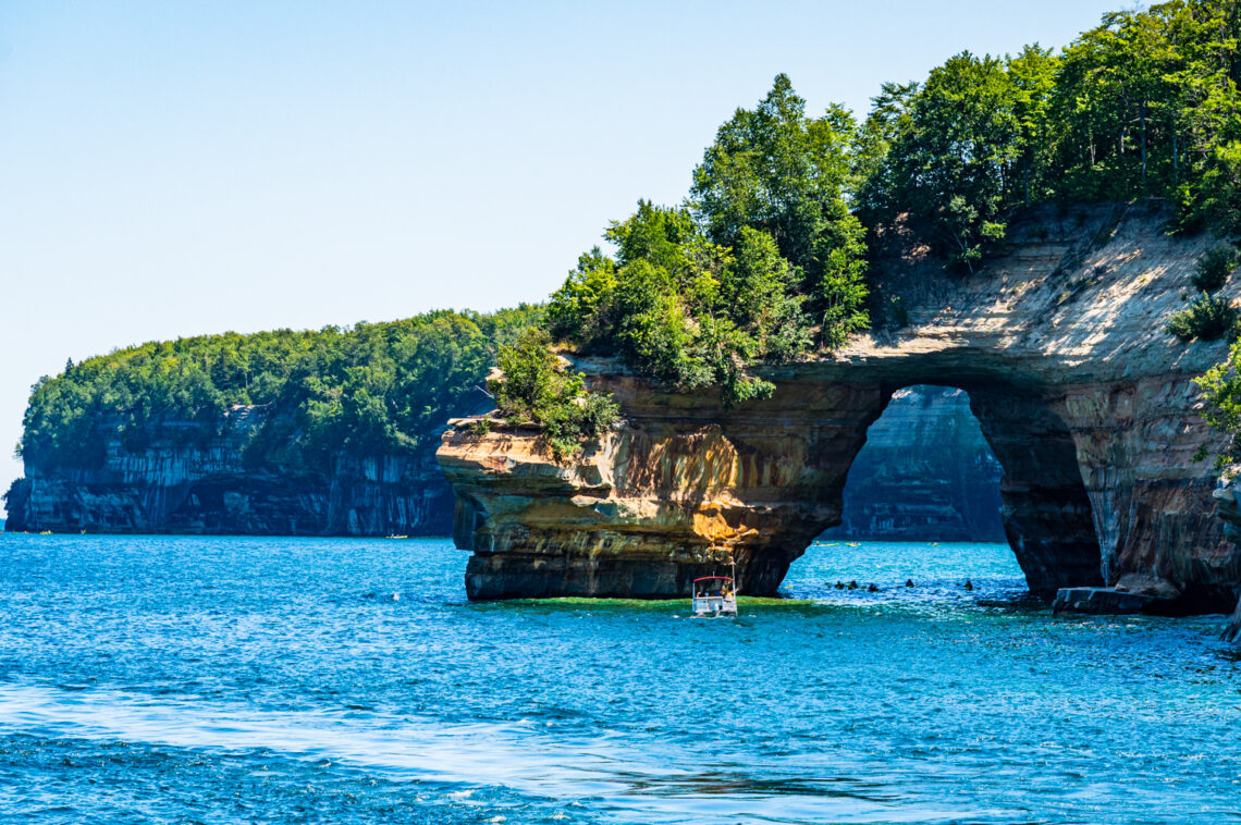
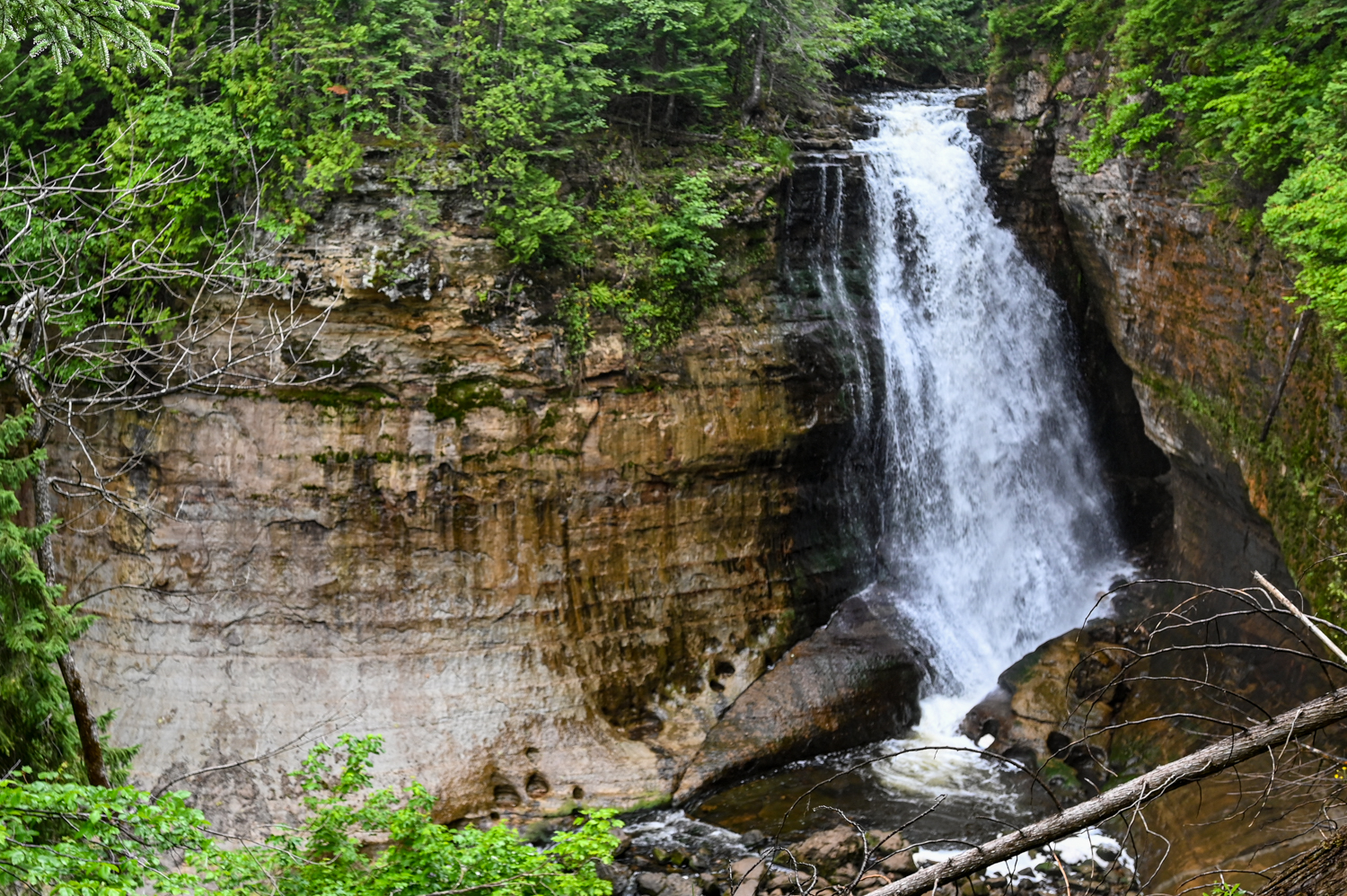
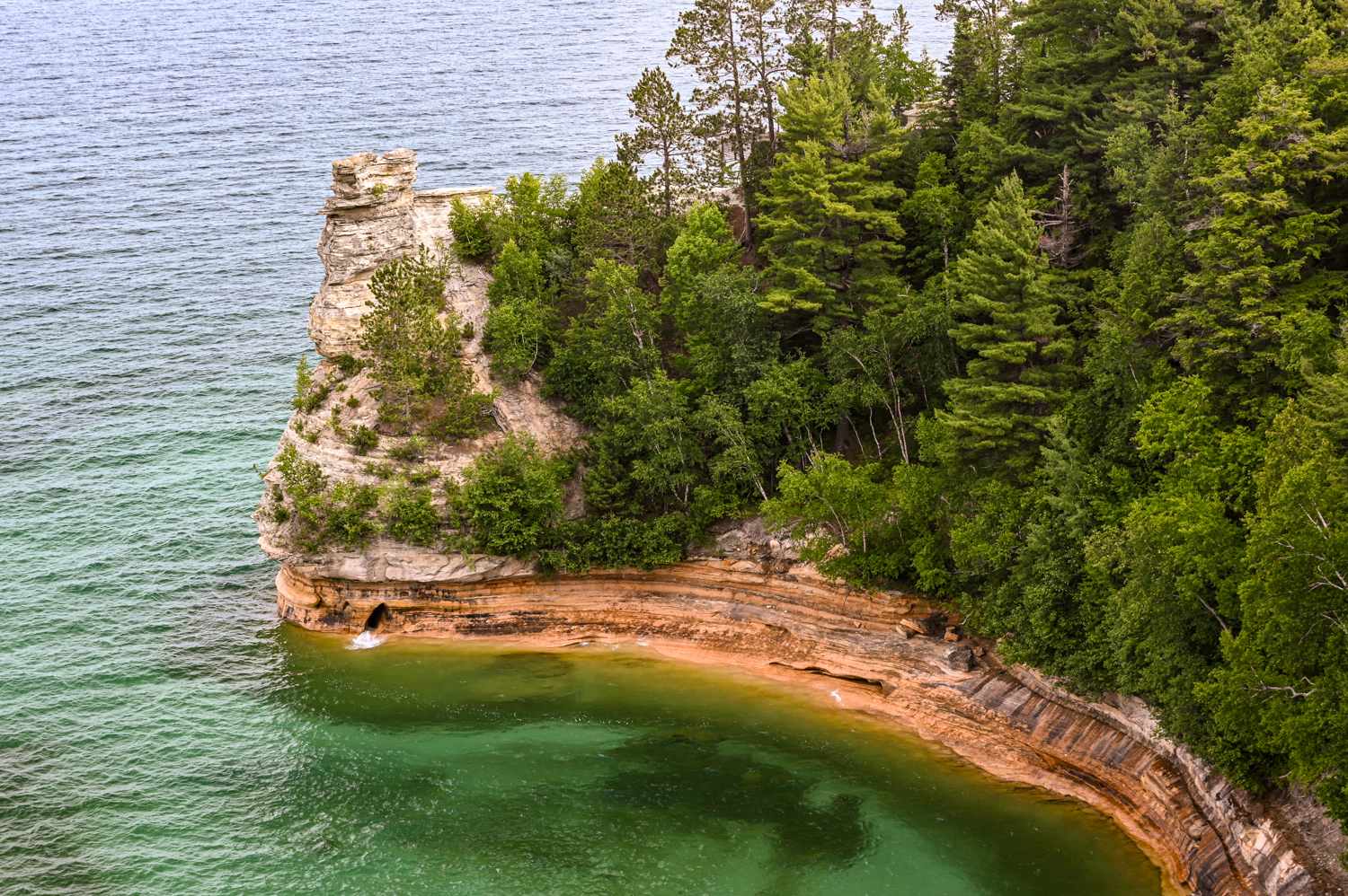
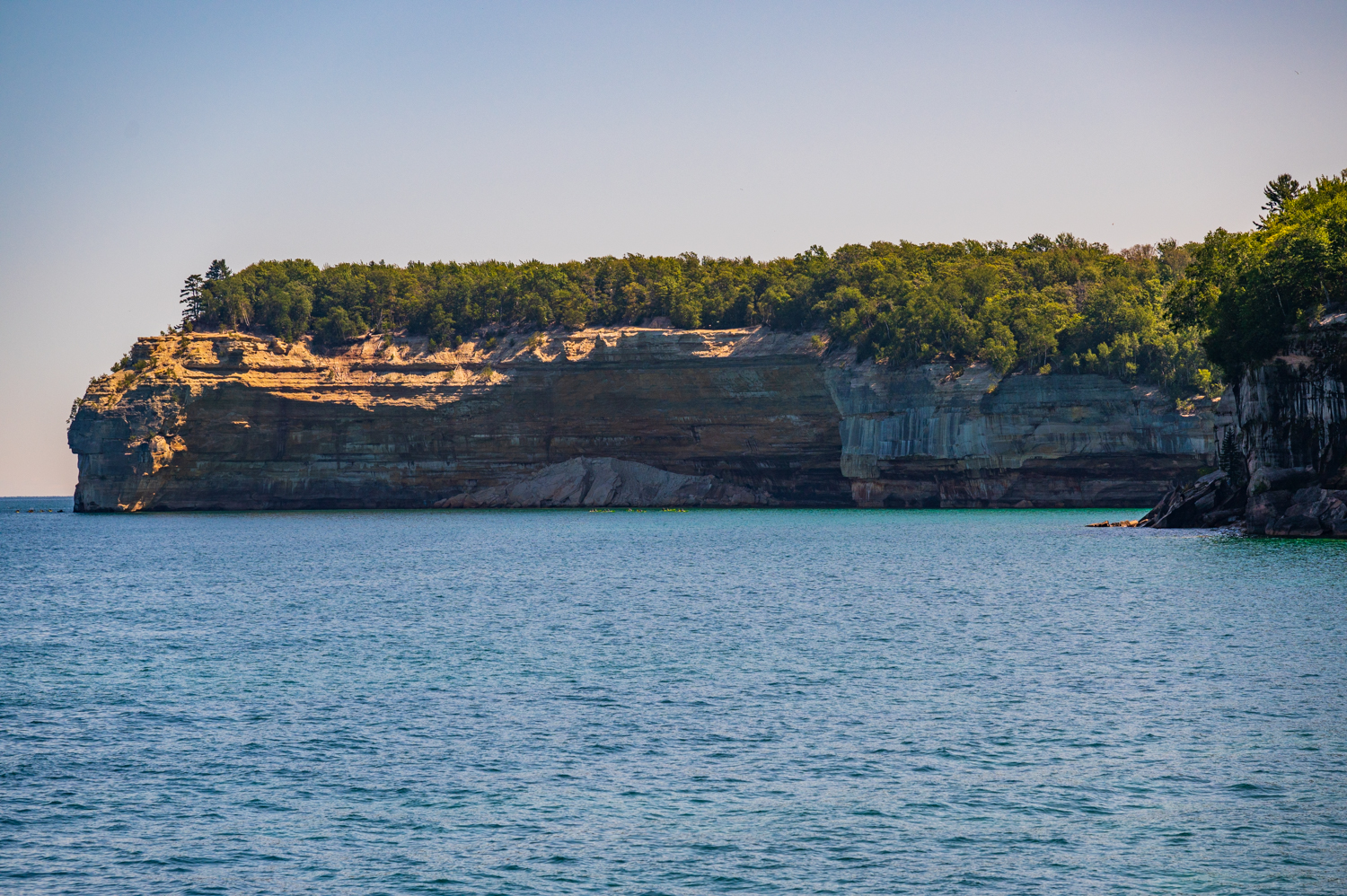
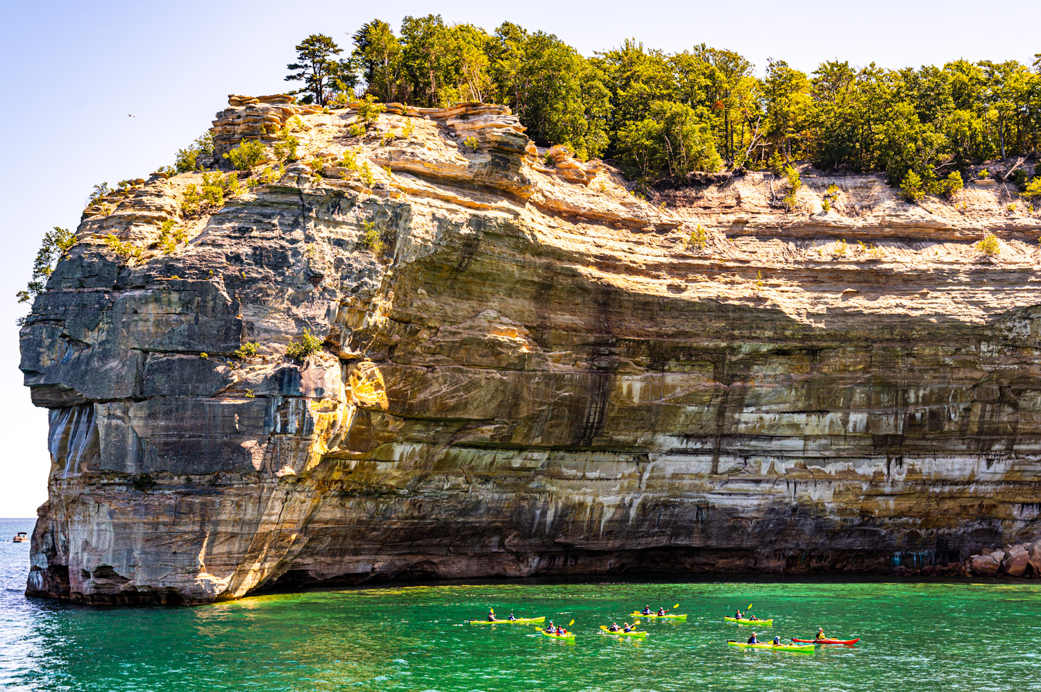
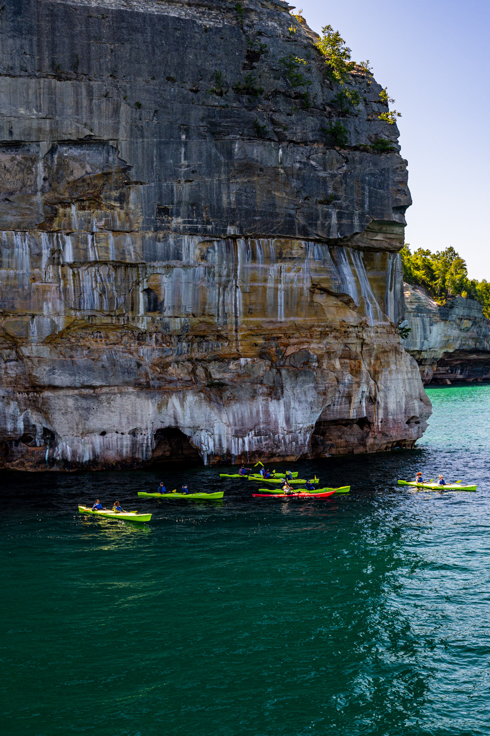
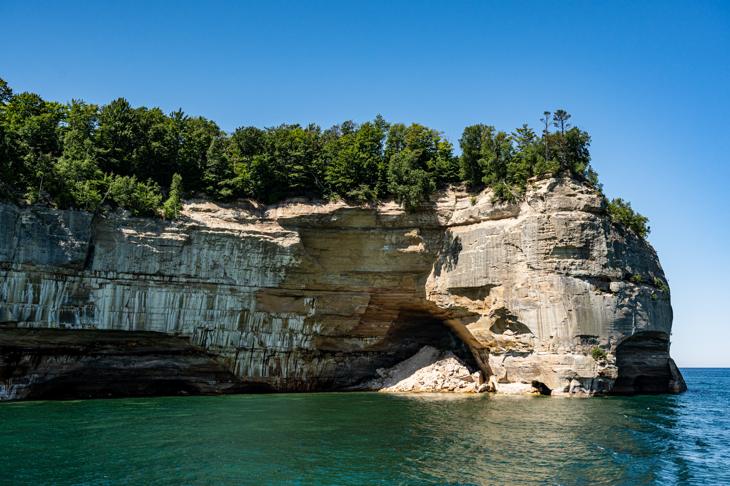
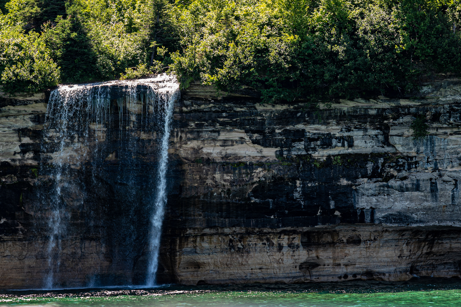
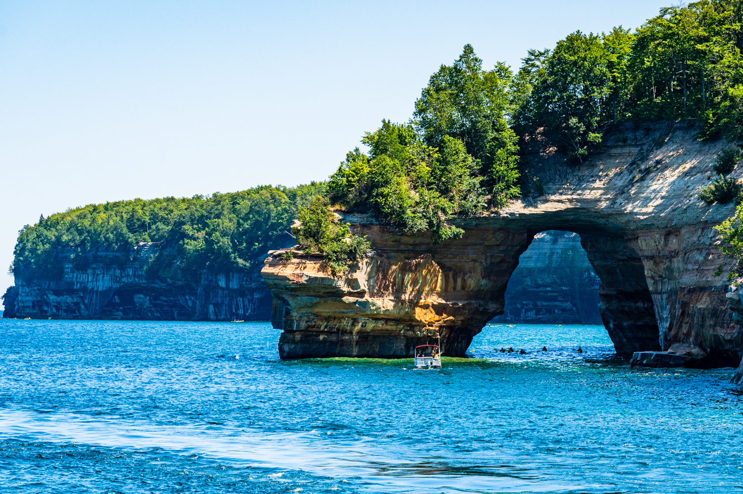
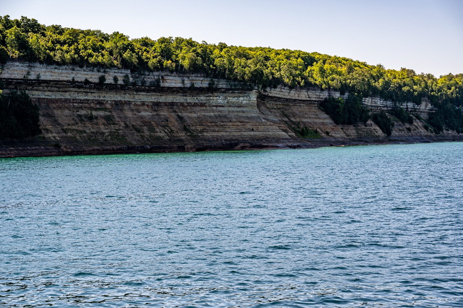
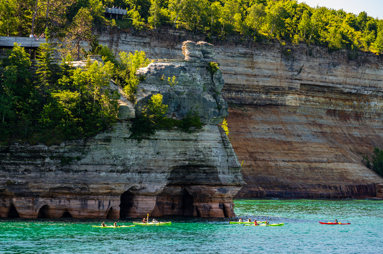
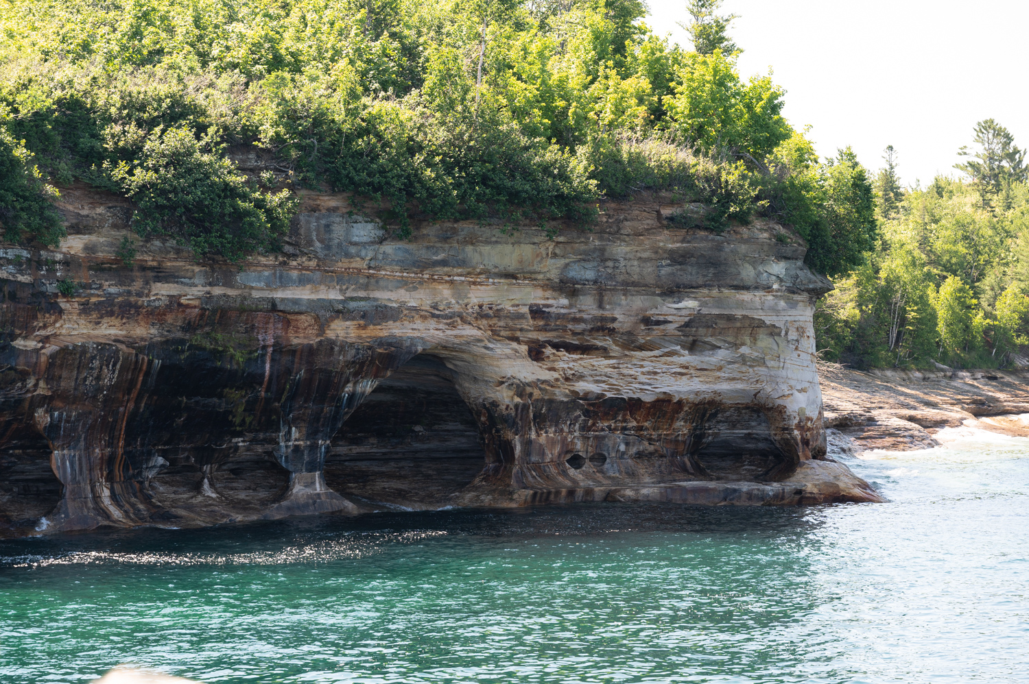
I later explored some of the pictured rocks national Lakeshore from land, taking in both Miner’s Falls in Miners’ Castle. However, one must get out on the water to truly appreciate the Beauty of this expensive geological treasure. From the top deck of our cruise boat, I tried to capture images of some of the most interesting rock features. Equally important, I think, are the photos that include kayaks or other watercraft in the foreground, which give the viewer a better sense of scale.
Pictured Rocks National Lakeshore extends for 42 miles along the shore of Lake Superior, encompassing some 73,000 acres. It derives its name from the 15 miles of colorful sandstone cliffs that reach up to 200 feet above lake level. Congress designated Pictured Rocks the first National Lakeshore in the United States in 1966.
The varied colors in the cliffs are created by the minerals in the rock. Streaks on the face of the cliffs come from groundwater leaching out of the rock and evaporating, leaving streaks of iron (red), manganese (black-white), limonite (yellow-brown), copper (pink-green), and other minerals.
